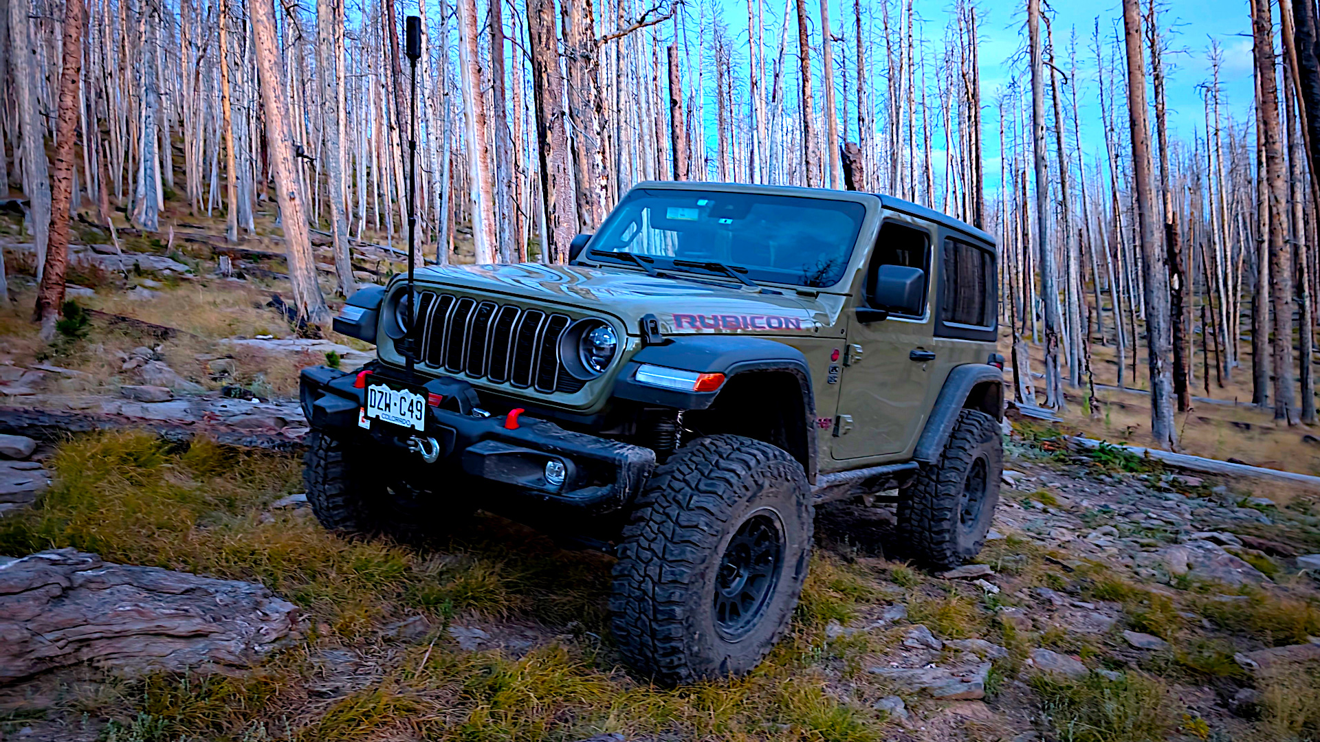
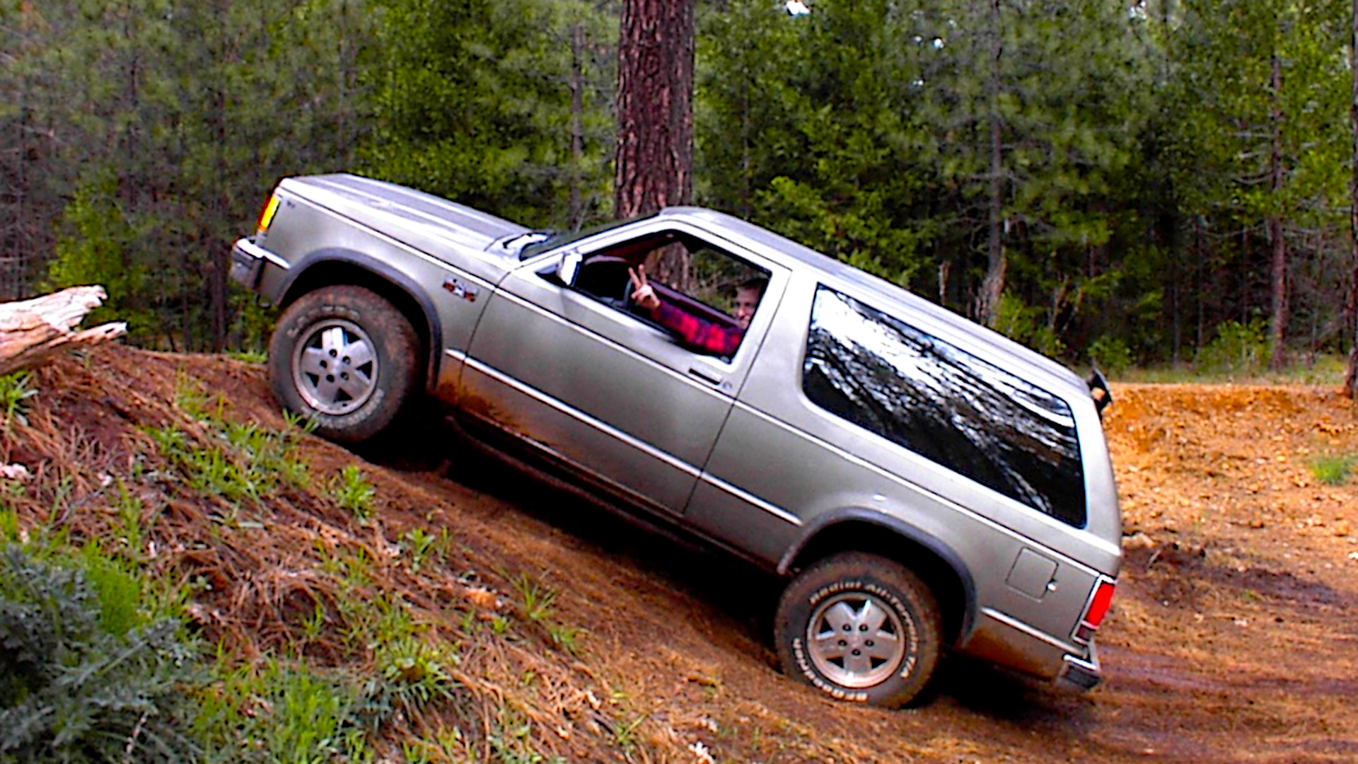
As a teenager in the late 90s in northern California, I spent a lot of time on back-country roads east of Redding, plus plenty of hiking and mountain biking. In today’s 4×4 trail guides, most of those roads would probably rate easy to moderate. We’d occasionally find a ledge or washout to play on, but I never owned a serious trail rig back then.
The system was simpler. We followed whatever dirt roads started near home and explored where they went. There were no phone apps, no downloadable maps, and I didn’t use a GPS. I tagged along with my uncle in whatever he was driving, then explored solo in vehicles ranging from barely adequate to plainly wrong for the job. That led to predictable misjudgments—creek crossings in a VW Beetle, fuel running low, unplanned drives past dark, and more than a few recoveries without a clear idea of where I was. I was comfortable hiking or camping out if needed, probably more comfortable than I should have been.
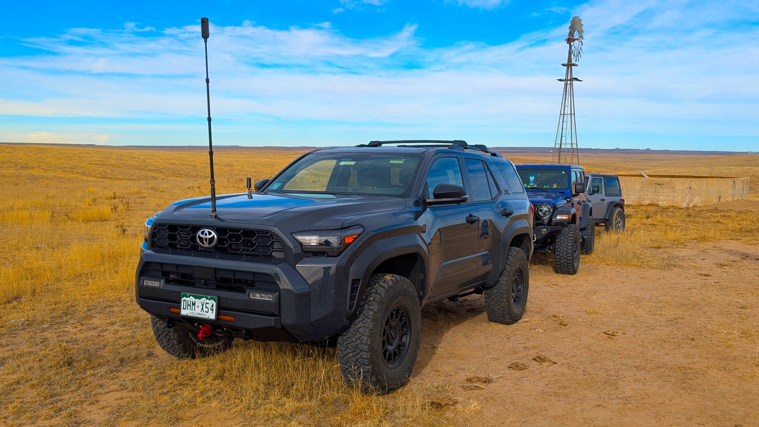
I kept doing some backroad exploring as an adult, but I only got serious again when my son reached his teens. By then, smartphones, integrated GPS, satellite messaging, and dedicated off-road trail apps had changed the game. I assumed I could look up the routes I’d loved as a teenager, learn their names, and find official guides. Instead, I found almost nothing. On modern guide sites, including TrailsOffroad, I couldn’t find listed trails in the exact area I’d explored. On onX and popular satellite basemaps, the web of dirt roads is visible, but most of those routes are unnamed or unlabeled.
Later I learned those “trails” were rarely public in the first place. In the 90s we were often driving on a patchwork of private timberlands and utility corridors—PG&E watershed and transmission access, plus logging roads owned by companies like Sierra Pacific Industries. Those lands have long allowed limited or seasonal recreation in some places, and they also close outright for active logging or during high fire danger. That mix of private ownership, conditional access, and periodic closures doesn’t translate into a permanent, mappable “trail” in modern guide databases.
Public-land rules also changed. In 2005 the U.S. Forest Service finalized the Travel Management Rule, which requires each national forest to designate the specific roads, trails, and areas that are open to motorized use. Those designations are published on Motor Vehicle Use Maps (MVUMs). If a route isn’t on the MVUM, it’s legally off-limits for public motorized travel, even if you can see the road on satellite imagery. That formalized a “closed unless designated” approach, especially noticeable in mixed-ownership landscapes like the Lassen foothills. Modern apps and trail sites key off these designations, so old logging spurs or utility roads you once could drive won’t appear as legal, named trails today.
I’ve seen the same pattern in Colorado, where I’ve lived since 2009. Some camping spots in the Roosevelt National Forest were on old spurs that are now gated or decommissioned for vehicles, and only the designated system appears on the MVUMs.
California also concentrated much of its official off-highway vehicle (OHV) riding into State Vehicular Recreation Areas and other clearly mapped destinations. That has benefits—consistent funding, signage, safety—but it further separates the “legit” places from the informal networks many locals grew up on. When you search trail-guide sites today, you’re seeing what’s designated, insured, and maintained, not every backroad that ever existed.
So when a modern trail app shows a blank around a mountain town—like Shingletown, California—it reflects how those roads were created and are managed: privately built for timber or utilities, sometimes open, often seasonal, and now governed by clearer rules and closures. The backroads that shaped my early exploring are still out there in some form, but they were never “trails” in the way today’s guides define the term—and that’s why they’re hard to find online.
There are hundreds of similar networks across the United States—old road systems built for forestry, mining, or other purposes, spread across a patchwork of public and private ownership. For what it’s worth, I don’t recommend exploring roads today without doing your homework first: confirm legal access and recommended use, match your vehicle and gear to the route, understand the risks, and check conditions such as weather and fire restrictions. With the tools available now, it’s easy to plan responsibly. Still, there was something undeniably fun about pointing down an unknown road and not quite knowing where it went—or what you were getting into.